Satellite imagery reveals how Sudan’s war scorched its ‘breadbasket’
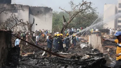
For the past three years, reports of wartime atrocities and dire humanitarian crises have been making the headlines from Sudan. Now, satellite imagery shows the extent of the damage to the country’s agriculture and industrial sectors.
An Al Jazeera digital investigation using Sentinel-2 satellite imagery and the Normalised Difference Vegetation Index (NDVI) reveals the devastating toll of the war on Sudan’s largest irrigated farming projects in the central states of Gezira, Sennar, and Khartoum.
The fertile plains of central Sudan – known as the country’s “breadbasket” – have been devastated, the images show, with the vibrant, geometric green grids that once defined the country’s agricultural heartland now faded into a barren, dusty brown.
Sudan descended into a bloody civil war on April 15, 2023 following a power struggle between the Rapid Support Forces (RSF), a powerful paramilitary force, and the Sudanese Armed Forces (SAF).
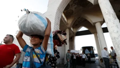
Fighting first erupted in the capital Khartoum, but soon spread to other regions. The RSF initially made swift gains, advancing across Sudan’s agricultural heartland, primarily in central and eastern Sudan, specifically the states of Gezira, Sennar, and Khartoum – in late 2023. The fighting devastated a vast swath of the region that is crucial for the food security of one of the poorest nations on earth.
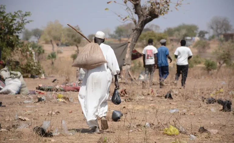
In the town of Abu Quta in northern Gezira state, RSF fighters equipped with heavy machine guns looted markets, the local police station, and the agricultural bank in December 2023. In response, desperate farmers resorted to flooding their own irrigation canals. They sacrificed their crops, turning fields into mud traps to halt the RSF’s heavily armed pickup trucks.